Biggest June storm in decades

Diana Cocks
13 June 2022, 6:06 PM
 While the skifields relished the early dump of snow, stock at this Maungawera Valley farm are on double rations of baleage until the snow melts. PHOTO: Grant Fyfe
There’s a local adage: ‘Snow in May never stays; snow in June comes too soon’.
And maybe there’s some truth to that saying, as MetService forecasters told the Wānaka App yesterday (June 13) that the spate of recent, consecutive storms which brought rain and snow are not likely to reoccur this month.
“There’s still the risk of the odd shower but the weather is going to vastly improve over the next few days,” meteorologist Tui McInnes said.
The series of cold fronts which brought the snow were unusual “in their persistence”, Tui said.
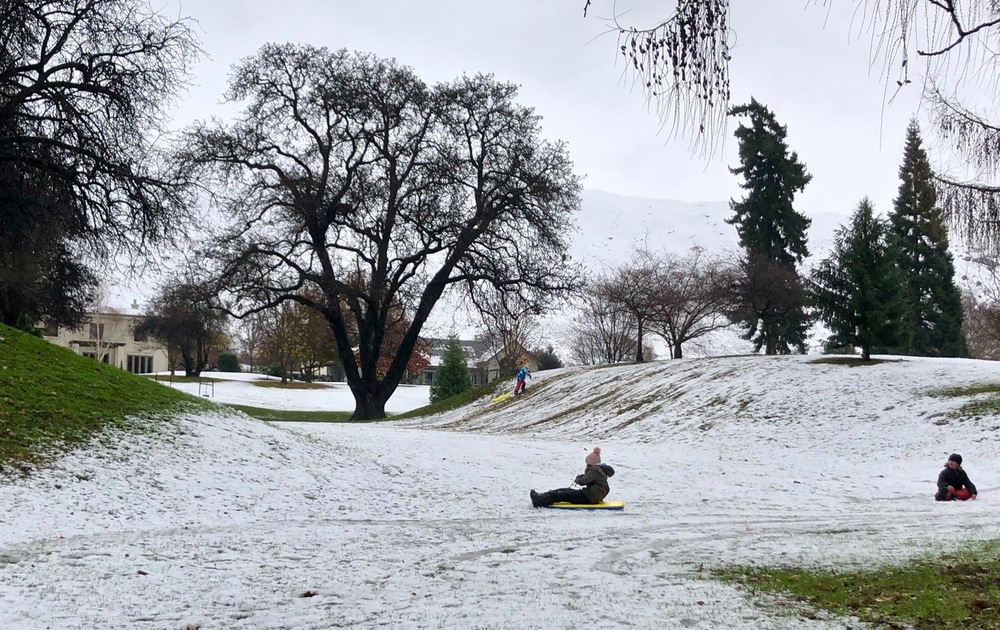
Wānaka Station Park’s dells are perfect for sledging and boarding. PHOTO: Wānaka App
He said the recent rainfall was far above average for this time of the year - almost as much rain has fallen in the last week as fell for the whole of June 2021.
Tui said while he can’t predict what the whole winter season will bring, the rest of June is likely to be close to normal conditions with the occasional cold front and cool temperatures.
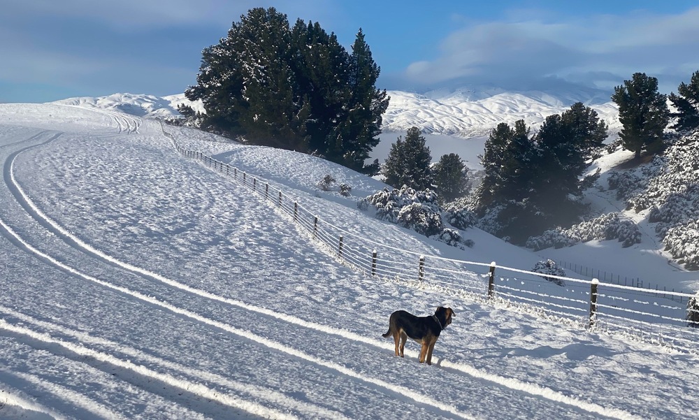
Huntaway Scout explores the new snow at her Maungawera Valley farm. PHOTO: Grant Fyfe
Skifield operators are pleased with the early dump of snow. Cardrona Alpine Resort opened this winter’s season at Cardrona Skifield last Saturday (June 11) as planned, an improvement on last season when its opening was delayed a week to June 18 due to a lack of snow.
Treble Cone, which is scheduled to open on June 25, reported it had over a metre of snow around its base buildings saying it was “quite possibly the biggest storm we’ve seen in 20 years”.

Snow Minions appeared near Plantation Road following the snow dump this week. PHOTO: Leon Roode
Not so happy with the heavy snow are road users, particularly those travelling the alpine passes. Both the Lindis Pass and the Crown Range were significantly affected by the snow and ice and, as of this morning, both are closed to traffic.
MetService’s predictions of improving weather for the rest of the week, with light southwesterly winds to clear the skies and some sunshine, is not only good for skiers and road users but also encouraging for local farmers.
Richard Burdon, of Glen Dene Station, Lake Hāwea, said his stock had been brought down to the low country where conditions were better and he was able to feed out by tractor.
Early season snows like this can be challenging for farmers who have to be “mindful” of ensuring their winter feed stocks last throughout the winter, he said.
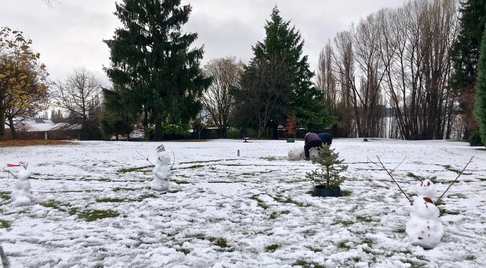
There’s just enough snow left in the Wānaka Station Park to make snowmen. PHOTO: Wānaka App
He recalled the last time there was such a heavy snowfall in June was in 1995, and it stayed frozen on the ground for weeks.
“Snow like this sharpens the mind,” he said. “We could be in for a long winter.”