NZTA urges caution as snow forecast to impact roads
05 June 2025, 5:00 PM
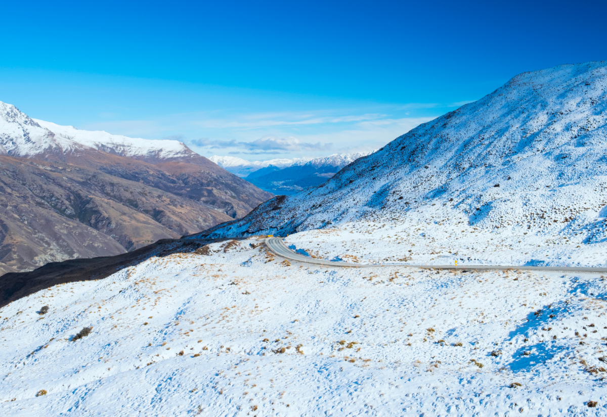 A road snowfall warning has been issued for the Crown Range from midday Friday
New Zealand Transport Agency Waka Kotahi (NZTA) is urging motorists not to get caught out as snow is forecast across the South Island leading into the weekend.
Heavy snow warnings or watches have been issued by the MetService from today (Friday June 6), with heavy snow down to 300 metres potentially causing travel disruption and damage to trees and powerlines in Central Otago and Canterbury, from the Rangitata River southwards.
“We got off relatively lightly with the snow so far this week,” NZTA system manager Mark Pinner said.
“If you are heading away for the weekend, and especially if you are travelling on highways at higher elevations, make sure you are prepared and plan ahead.”
Queenstown lakes is facing potentially heavy snow to 400 metres, and snow is expected to fall about the Dunedin-Waitati Highway (SH1) from about 10am.
Mountain passes across the island may be impacted as snow accumulates.
In addition to accumulating snow, the accompanying cold temperatures create risks of frost and ice on the roads.
“Make sure that if you are driving in these conditions, that you adjust your speeds and following distances accordingly,” Mark said.
“If you can avoid or delay travel on roads while there is elevated risk, that’s sensible.”
NZTA said it will keep a close eye on the State Highway network around the south and respond with its crews as required.
Click Roads in your Wānaka App for the latest conditions.
PHOTO: Stock Image