New addresses challenging for emergency services

Diana Cocks
19 February 2021, 5:04 PM
 Emergency services are notified of new road names as soon as they are approved but there can be a slight delay for the new names to be added to their dispatch systems.
 Road naming of new roads is one of those uninspiring tasks councils are required to do but street signs or an address on a road can be crucial when emergency services are called.
Recently, a call for an ambulance to an accident at the new pump track in Northlake led a local person to query on social media why it took the ambulance a while to get there even though they could hear it on Northlake’s roads.

A second person said they’d encountered a similar problem last year at the Wanaka swimming pool in Three Parks as the ambulance service didn’t recognise Sir Tim Wallis Drive.
So why is there a disconnect between local road signs and emergency services and what can locals do to improve the situation?
New local road names are approved by the Queenstown Lakes District Council (QLDC) which immediately notifies various local and national bodies of all new names, including Land Information New Zealand (LINZ) “and all emergency services in the area,” QLDC communications advisor Jack Barlow said.
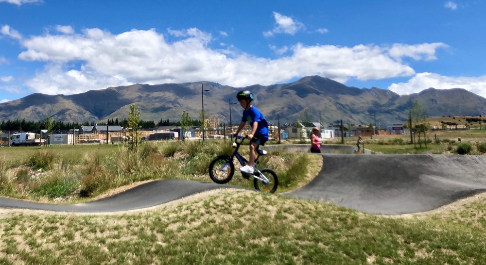
The new pump track at Northlake was opened to the public in October last year, but do you know its address?
Council also requires the new street signs to be erected by the developer and council subdivision engineers check the signs are completed, he said.
LINZ maintains the official national record of all road names and property numbers in New Zealand and ensures they meet the national standards before adding them to the official record.
The official address information LINZ receives is made available publicly and data resellers tailor it for end-users such as the emergency services, businesses, local government, and central government agencies.
St John ambulance communications spokesperson Olive Taylor said its mapping data is managed by these third-party vendors and manually updated into its own computer assisted dispatch (CAD) system.
The dispatch system, which is shared with other emergency services such as Police and Fire and Emergency New Zealand, incorporates other applications like GPS tracking data, AVL (Automatic Vehicle Locator), PCL (Probable Caller Location) and many other systems, Olive said.
“This amounts to millions of pieces of data that are being updated and in order for it to be a seamless process it requires vigorous testing to ensure accuracy before being entered into the live system,” she said.
It means there can be a slight delay between being advised of new addresses and that information being available to dispatchers.
“We endeavour to keep up-to-date nationally with address changes and updates and most district councils are very good at advising us of new subdivisions.
“In some instances, however, we are only made aware of changes when we have received a 111 call,” Olive said.
St John NZ communications advisor (South Island) Gerard Campbell said the 111 calls which request an ambulance go to ambulance communications centres where a call handler will ask for the exact address of the emergency.
Specific addresses for public sites, like the swimming pool or the pumptrack, might not be known by the caller but the call handler is trained to elicit as much information as possible to narrow down the address, he said.
Gerard said the public can help the emergency services call handlers by providing as much information as they can about the address, such as a nearby business or street name, and then the call handlers will work back to a street in the location that is listed and obtain directions from that location.
“The more information the caller can provide the easier it is to locate the address,” he said.
PHOTOS: Wanaka App