Mixed weather forecast for Christmas week

Maddy Harker
18 December 2025, 4:06 PM
 A “mixed bag” of weather is on the way for Wānaka, with cloud, wind and more rain expected over the coming week.
Pack the layers and keep an eye on the sky - cool temperatures, wind and bursts of rain are on the cards for Wānaka over the coming week, according to MetService.
“We’re looking at a pretty unsettled next week or so, unfortunately,” MetService meteorologist Braydon White told the Wānaka App.
While the current front is expected to clear by tomorrow (Saturday December 20), it won’t usher in clear conditions.
Instead, it is likely to be followed by “fairly noticeable cloud”, with overnight lows dipping to as little as four degrees over the weekend.
Adding to the wintry feel, a road snowfall warning is in place for the Crown Range tonight (Friday December 19).
Conditions are forecast to improve briefly at the start of next week, with daytime temperatures climbing into the mid-20s - “which will feel a bit more summery”.
However, that warmth may be short-lived, with a westerly then headed this way.
Overall, the outlook remains a “mixed bag”, though it won’t be wall-to-wall rain.
“There will be short periods of rain or showers for Wānaka - but between those it will be relatively okay,” Brandon said.
On Christmas Day, there is the possibility another front could arrive around midday, potentially disrupting festive plans.
There may be better news on the horizon, however, with indications conditions could improve as New Year’s approaches - though it is still too early to be certain.
“We are cautiously optimistic about New Year’s,” he said.
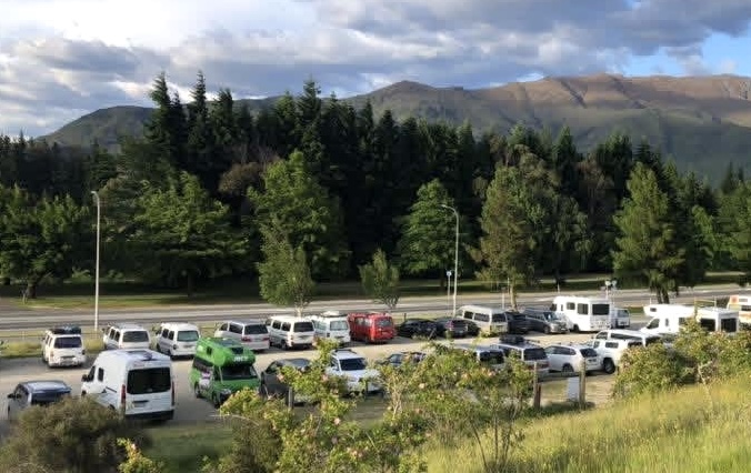
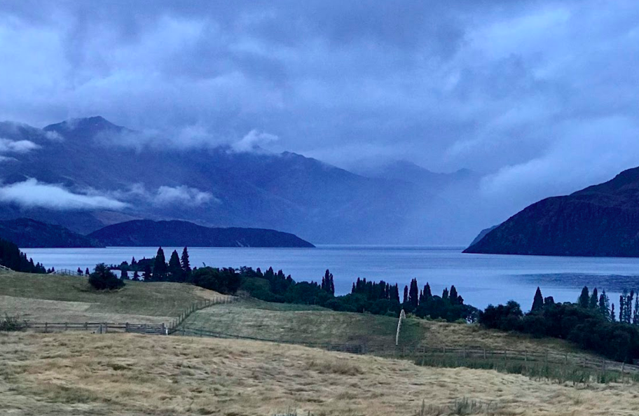
PHOTO: Wānaka App